The Lake Superior National Marine Conservation Area (LSNMCA) was established in 2007 and spans all of the water, shoals, and shoreline extending from Bottle Point just east of Terrace Bay westward to Thunder Cape at the tip of Sleeping Giant Provincial Park in the west.
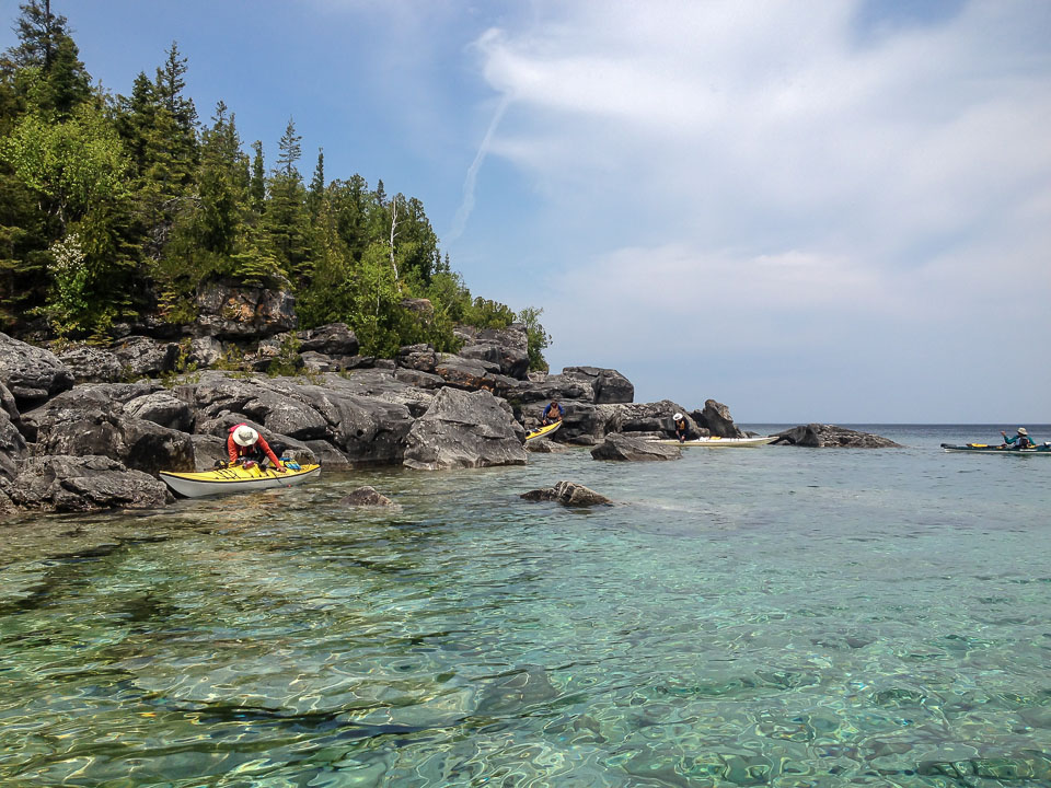
We will launch from and return to the community of Rossport. We will kayak among the Rossport Islands, Simpson Islands, St. Ignace Island Group, and the Fluor Island Group. These islands are known for their raised cobble beaches, sea arches and caves, columnar basalt, volcanic dykes as well as shipwrecks, lighthouses and rugged walking trails. Access to the islands requires a number of 3 to 5 km crossings. This is a pristine and isolated area. There are no official designated or maintained campsites throughout the LANMCA. Paddling, launching, and landing is a difficult endeavour in many areas on the south and north shore of the islands. With extreme conditions and hazardous weather, it is possible to become land bound for several days.
Participants must be experienced wilderness campers, capable of self-rescues, and be comfortable paddling in 1 meter waves in moderate to strong winds and crossings of up to 5 km. Wet or dry suits are mandatory due to the cold water temperatures of Lake Superior. Bring bug repellant and sun screen. Participants are responsible for their own gear, food and transportation. Additional information will be sent to participants.
Trip Organizer: Victoria Best victoriaahb@yahoo.ca
Trip Type: Wilderness- exploratory
GLSKA Classification: C – 3
Max. Group Size: 6 participants
Meeting Location: Wawa
Meeting Time: 7:00 pm
Maps: Topo maps 42 D/12 Grebe Point; 42 D/13 Rossport; 42 D/14 Schreiber; 52 A/9 Shesheeb Bay
To sign up, please contact the trip organizer.
Parks Canada website for the area: http://www.pc.gc.ca/en/amnc-nmca/on/super