Kayaking Lake Superior’s Mysterious Michipicoten Island

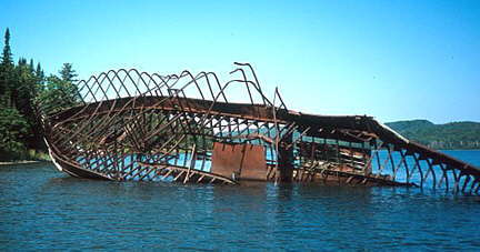
Wreck of the Billy Blake

David Whyte

Michipicoten Island lies in the northeast corner of Lake Superior, approximately 67 kilometres west of Wawa and about 14 kilometres south of an uninhabited stretch of Lake Superior’s north coast. The island has a total circumference of about 65 kilometres, excluding bays and inlets. It contains approximately 30 remote lakes, and is both rugged and heavily wooded.

Read more

South Baymouth to Key River

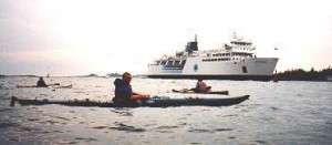
Waiting for the Chi-Cheemaun to Pass

by Bob Knapp

I wasn’t used to carrying three sea kayaks on my car, but since we only had to drive from Owen Sound to Tobermory, we tied them on and headed north. The plan was to catch the ferry from Tobermory to Manitoulin Island on Monday morning and somehow, between fellow kayaker Ron and I, get the three kayaks and all of our gear loaded on the MS Chi-Cheemaun.

Read more

Sea Kayaking on Lake Erie

erie1.jpg
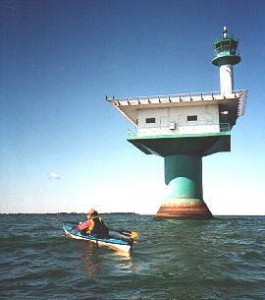
Pelee Lighthouse


by Wendy Killoran

Awakening before the sun at 3:55 a.m., I bleary-eyed prepared myself in darkness to start a paddling adventure, an attempt to cross Lake Erie, via Point Pelee, Pelee Island, Middle Island, Kelleys Island (Ohio) and on to Cedar Point and Sandusky, Ohio. I drove quiet roads, normally brimming with traffic, to Komoka to pick up Jim Gear, who would join me on this attempted Great Lakes crossing. In the calmness of this clear night sky, I watched a falling star, wishing for a successful paddle across the eleventh largest lake (measured by surface area) in the world.

Read more

Bruce Peninsula – Stokes Bay to Cape Hurd

by Doug Cunningham

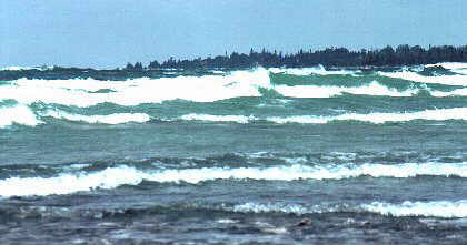
The shallow waters ... can produce plunging waves
The shallow waters … can produce plunging waves

The Lake Huron side of the Bruce Peninsula slopes gently toward the west and cradles warm, almost bathtub-like waters, which are punctuated now and then by smooth sand beaches. Great for swimming or practising your Eskimo roll. Some of the most spectacular sunsets on the Great Lakes can be viewed from the western coast of the Bruce Peninsula.

Read more

Bruce Peninsula – Barrow Bay to Cape Croker

by Doug Cunningham

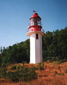
Cape Croker Lighthouse

This section of the Bruce Peninsula offers sheltered paddling within Hope Bay and Sydney Bay and many opportunities to explore Escarpment geology along the Bruce Trail above these Bays. The total distance from Barrow Bay to the Cape Croker Indian Park is about 25 kilometres, if you follow the indented coastline of Hope Bay; or about 18 kilometres, if you avoid Hope Bay by crossing from Cape Dundas to Cape Paulett. In either case it is about one day’s paddling.

Read more