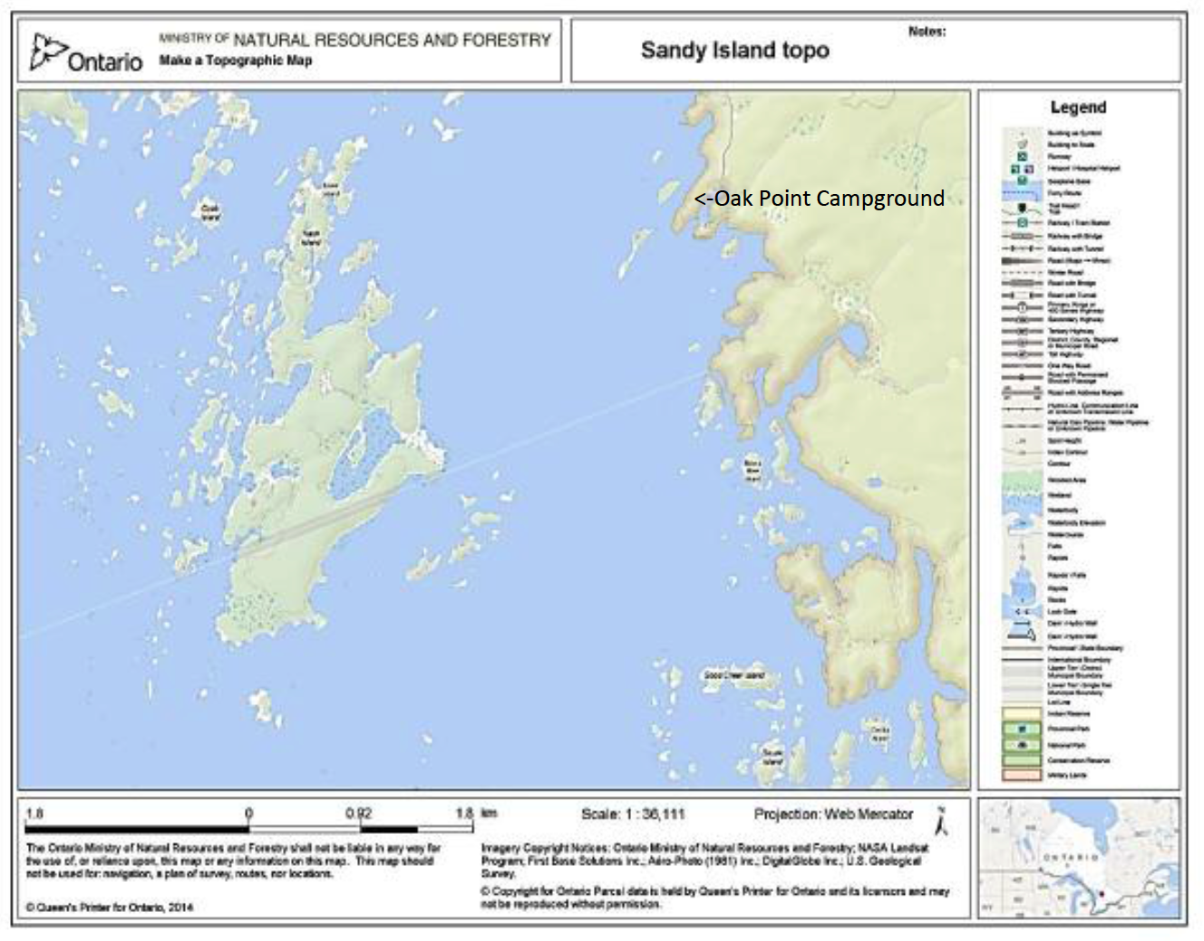
 Two views of maps that can be made from the Land Information Ontario website:
https://www.lioapplications.lrc.gov.on.ca/MakeATopographicMap/index.html?viewer=Make_A_Topographic_Map.MATM&locale=en-CA
This link brings you to a disclaimer. “Agree” to gain access to the maps. Click Select Map Layers.
Check Topographic Data and Ontario Imagery. Type in the location you want to see. Use the sliders in the box on the left to show the topo or the photo imagery. Zoom in and out…as close as 10 metres per cm! You can see individual trees. Create a printable map from the I Want To… button.
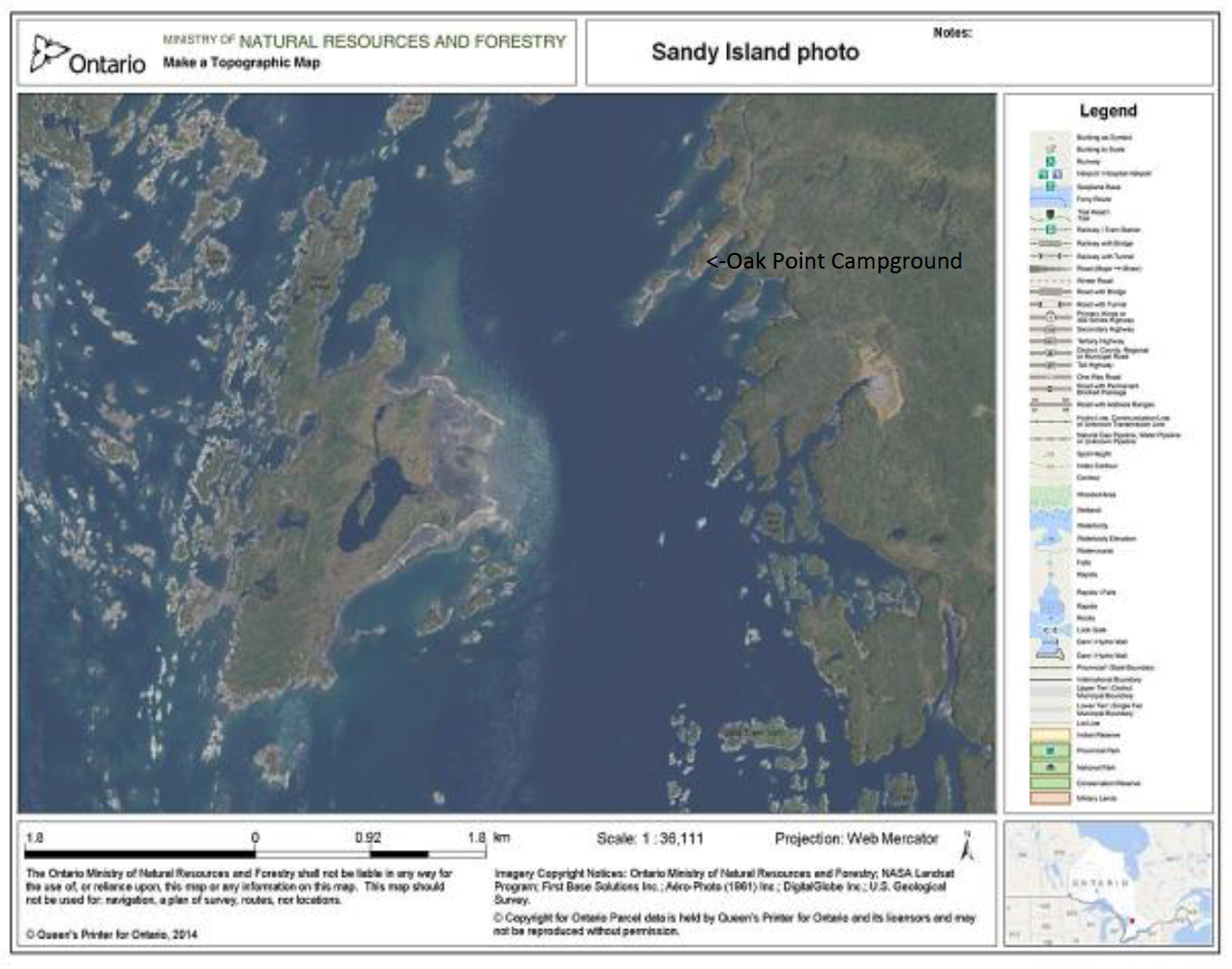
The website uses aerial photography, which can give some very fine detail. These two maps were printed at a scale of 1:36,111. You can choose to have more or less detail when creating the map.
Permission to print this information is granted by the Queen’s Printer of Ontario.
